
Walk a Lindenhurst Street From Address to Record
A street-by-street search is a source ladder. First confirm that the number sits in the intended jurisdiction. Then use the Town parcel locator to obtain the parcel clues, compare the County map, and move from the recorded document index to dated historical material. The physical address, tax-roll mailing address, and deed description are separate values. Only the first identifies the parcel on the ground, and even it must be checked against the correct municipal boundary.
The current Town portal is a locator, not final proof. The portal says its information is not official, is not guaranteed accurate, and may not be current. A result should be checked with the assessment roll or Assessor, then tied to a Suffolk County recorded document before a transfer is treated as established. Current ownership does not prove who is presently at an address, and an old listing does not establish a current connection.
- Check the exact number and street against the Village street list and preserve its spelling.
- Run the number and street through Town of Babylon Property Information, then write down the tax-map or item-number result.
- Locate the parcel in the Suffolk GIS Viewer and compare the road, parcel shape, and municipal context.
- Use the Suffolk County Clerk Kiosk to inspect the deed index and, where available, the document image for the matching legal description.
- For an older household trail, pair a dated address-directory listing with newspapers, census material, and the historical place name used at that time.
Keep a compact research note for each stop: search date, address form entered, tax-map ID, recorded-document reference, and the source’s own date. That note makes it possible to distinguish a true conflict from a changed street suffix, a stale portal entry, or a nearby parcel.
Lindenhurst Street Directory Search Fields
Town of Babylon Property Information offers three captured search paths. The number-and-street form takes an optional house number and a required street name. Its tax-map mode requires district, section, and block, while lot is optional. Item number is a separate one-to-nine-digit identifier, not another version of the mailing address. No owner-name search was exposed in the inspected interface, and no live Lindenhurst row was captured.
| Portal path | Observed fields | How to enter it | Practical limit |
|---|---|---|---|
| Number and street | House Number; Street Name | House number is optional; street name is required | Use the exact street spelling; a no-match needs a map or tax-map retry |
| District, section, block, lot | District; Section; Block; Lot | Section 000.00, Block 00.00, Lot 000.000; preserve zeroes | District labels were not exposed and should be checked against a current roll |
| Item number | Item Number | One to nine digits | It does not replace the tax-map or street-address key |
The address, tax-map, and item-number forms are useful when one route fails. Search one precise value at a time. Broad assumptions can attach a result to the wrong parcel, particularly where historic directories shorten a street name or a modern address differs from an older description.
Here is the captured Town item-number search used for a Lindenhurst street directory search.
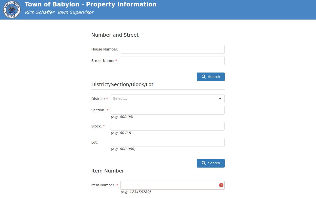
The separate field makes clear why a parcel identifier should be retained alongside the ordinary address.
Lindenhurst Parcel and Address Keys
Addresses move between postal, municipal, and record systems. A County Clerk deed may carry a legal description while the Town uses a district-section-block-lot sequence and the post office standardizes delivery wording. For older work, the legal description and tax-map reference are often the most durable bridge. They remain useful even if a street number, suffix, or community label later changes.
- Parcel
- A defined piece of land used in the Town and County property systems. Its tax-map identity is more precise than a casual street reference.
- Situs address
- The physical location of the parcel. It differs from a tax-roll mailing address, which can be elsewhere.
- Legal description
- The lot, block, metes-and-bounds, subdivision, or tax-map language in a deed. It links instruments when an address is unclear.
- Criss-cross directory
- A directory arrangement that begins with an address or street and points to dated listings, when that particular volume includes an address section.
The USPS ZIP Code Lookup can normalize delivery information, but its result does not establish a person, owner, or municipal boundary. For border questions, save the printed address, postal city and ZIP, incorporated municipality, and Town or County tax-map jurisdiction as four separate facts.
Lindenhurst GIS and Boundary Checks
Map context prevents a common street-level error: assuming that a Lindenhurst postal label automatically places every number in the incorporated Village. The official street list flags one concrete exception, “EAST DRIVE (#681 IS NOT VILLAGE).” That note is a prompt to confirm the particular parcel, not a rule for the whole road. The County GIS map shows roads, parcel geography, and available layers, but its lines are not a survey.
Begin by finding the target road in the GIS viewer. Check the road and cross street, note the tax-map ID, and record the map layer and access date. Then verify the parcel with the Town assessment source and the County tax-map authority. The Suffolk County Real Property Tax Service Agency identifies the Tax Map Division as the authority for creating and maintaining County tax maps; parcel-line questions go there, rather than to a visual map alone.
The captured Town property-search selector shows the three available search modes for a Lindenhurst address directory.
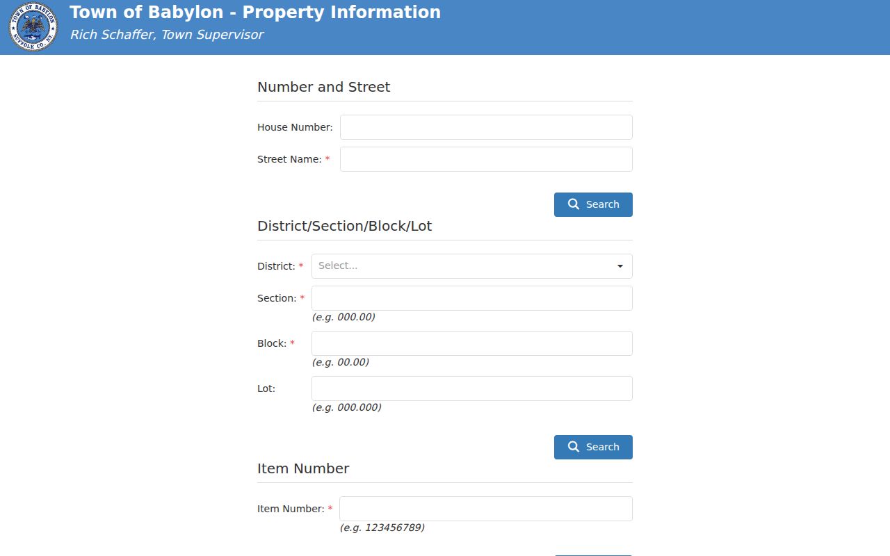
Use the mode that matches the source already in hand, then compare rather than merge results prematurely.
Move From a Lindenhurst Parcel to a Suffolk Deed
The Suffolk County Clerk Kiosk is the recorded-document route after a parcel is identified. County information states that the Imaging System covers land records recorded or imaged from 1987 to the present. That is a system-coverage statement, not the date when local land began. Earlier work may need the County office, a written request, deed books, microfilm, or a historical New York land-record collection with varying image access.
For a transfer trail, search the name and recording period, then compare the deed’s Liber, Page, document type, grantee, grantor, date received, and notations with the tax-map and legal-description clues. Open the image when permitted. The index points to a record; the image supplies the language needed to evaluate whether the instrument concerns the same parcel. A document may involve several lots, an easement, or a subdivision reference, so one result should never be collapsed into a whole street.
The County Clerk Kiosk captured for the Lindenhurst street directory is the starting point for that document check.
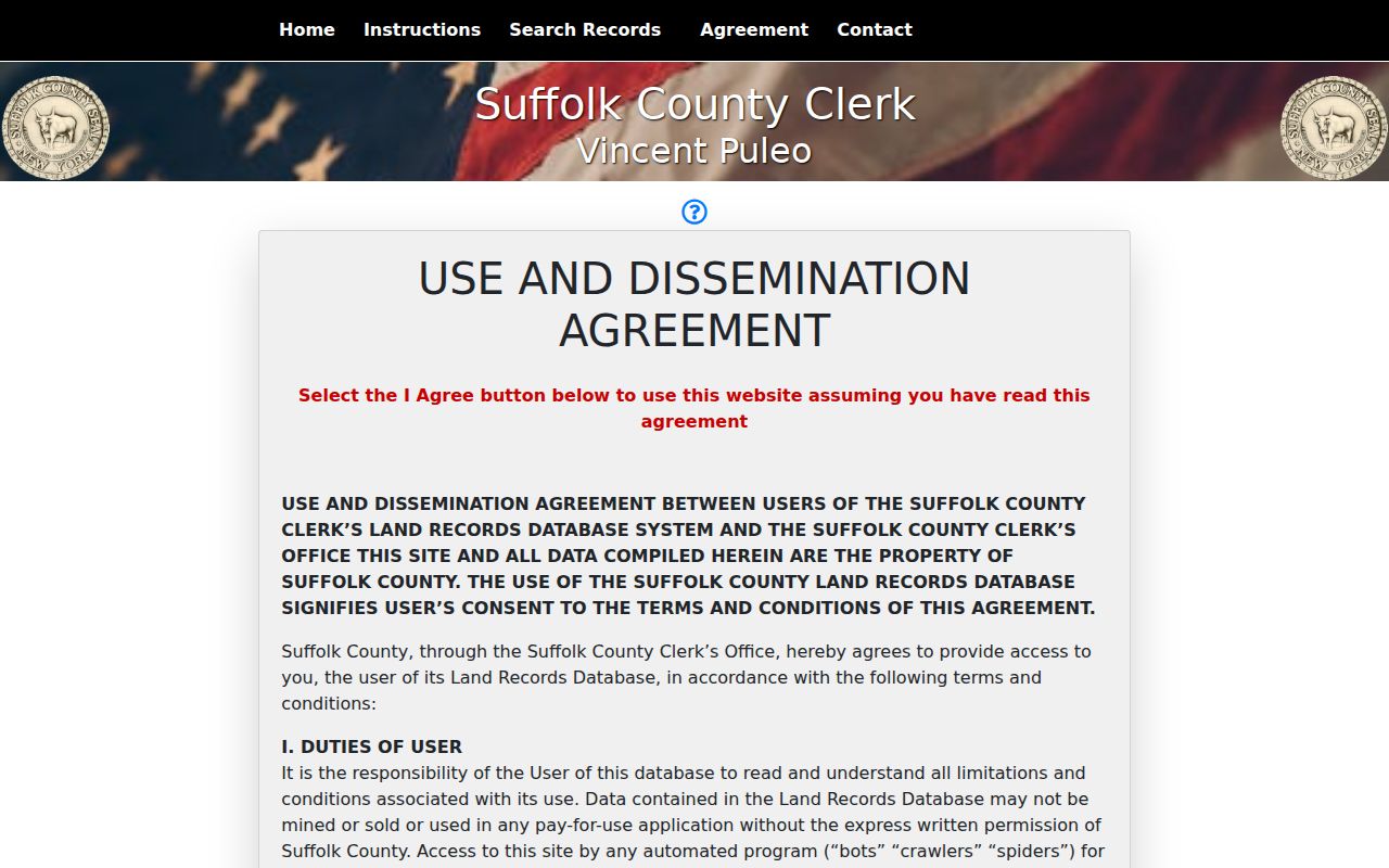
Result notices can cap some searches at the first 1,000 or 2,000 records, so narrow by date, tax map, Liber and Page, or a precise name option before reading a result set as complete.
Address-Keyed Lindenhurst Records
A street directory is strongest when its sources are kept in their lanes. The Town portal locates a parcel. The Assessor and assessment roll provide assessment context. GIS adds geography. The County Clerk establishes recorded-transfer evidence. Village files can supply an office-held response tied to an address. Historic directories and newspapers add a dated household clue, but they should not be used as a substitute for a recorded property document.
| Address record | Custodian | What it can show | Access and caution |
|---|---|---|---|
| Parcel locator and assessment context | Town assessment office | Parcel, assessment, ownership and exemption context | Portal is free but disclaims official currentness; confirm with the assessment roll |
| Parcel and road map | County GIS map | Parcel geometry, roads, municipal and map context | Viewer is not a survey and live layers can vary |
| Recorded deed | County deed index | Grantor, grantee, legal description, recording details, image controls | 1987–present imaging stated; older access and copy rules vary |
| Certificate or violation search | Village Building records | Address- and tax-map-keyed official certificate or letter | Office request; confirm the dated form and fee before filing |
| Dated listing and local coverage | Local reference collection | Historical address, newspaper, yearbook, clipping, and local-history leads | Coverage differs by collection and a blank year is not proof of absence |
Village tax material is another dated layer. Current roll, paid-report, lien-list, and cleanup-list material changes over time, while tax-roll books can be inspected in person. Preserve the access date and do not turn a payment or mailing detail into a conclusion about present residence.
Village Requests for a Lindenhurst Address
Some address records are not searchable online. The Village has not exposed a public permit or code-enforcement index in the inspected sources. Building Department records are reviewed in person and are not sent by email. A focused request should name the exact address, tax-map number if known, approximate years, and the particular record type sought. That gives the custodian a usable locator without asking it to reconstruct an entire household history.
The Village Title Search and Certificate of Occupancy form is address-keyed and includes a Suffolk County tax-map format beginning 0103-. It lists $75 for an official Certificate of Occupancy and $25 for an official letter, while warning that multiple selections can cause resubmission and delay. The PDF is dated 2020, so current terms need confirmation with Village Hall.
For another Village-held record, use the Village FOIL form. It may be emailed to info@villageoflindenhurstny.gov or dropped at Village Hall, 430 South Wellwood Avenue. New York FOIL generally requires an agency to grant, deny, or acknowledge a request within five business days; an acknowledgement ordinarily provides an approximate availability date. A request can be denied or limited for privacy, confidentiality, or another statutory reason.
Historic Listings Along a Lindenhurst Street
Historic material answers a dated question, not a current one. The Library of Congress address-directory inventory includes a Lindenhurst street-address entry for 1961. The New York Public Library finding aid lists Babylon telephone directories that include Lindenhurst for 1961–62 through 1971–72, with gaps. Start with an address section only if the actual volume has one, then compare the alphabetical section and preserve the volume year and page.
The Lindenhurst Star Digital Archive covers 1927–1958 and can be searched by names or places. Its known film holdings also have gaps. When a street hit is missing, ask the library for the relevant run, compare nearby issues, then use a newspaper, census, deed, or map as a separate source. A missing entry can reflect an omitted issue, a different abbreviation, or a place-name change.
For the physical setting, the Library of Congress Sanborn maps provide local snapshots for 1902, 1908, 1915, and 1925. They show structures, uses, and mapped streets. They do not name every person at an address. The city-directory collection is a fuller shelf-level resource at City Directories; use it to locate the appropriate volume rather than assuming one generic run applies to every decade.
Lindenhurst Street Names Across Record Eras
The same location can appear under several historical labels. Before 1870, local material may use Neguntatogue or Huntington South. The place became Breslau in 1870, Lindenhurst in 1891, and the Village incorporated in 1923. “City of Breslau” covered a wider area than today’s Village and included places now identified as Copiague and North Lindenhurst. That makes a place-name hit a lead to be tested with a street, cross street, tax map, or legal description.
For an older address, search the source’s original label first: Lindenhurst, Breslau, City of Breslau, Neguntatogue, Huntington South, or Babylon town. Put a normalized modern geography in a separate note only after the dates and boundaries are checked. The 1950 federal census, for example, labels communities under Babylon town, so it should not be read as a modern Village boundary.
Note: A historical address can be useful even when it cannot be matched to a modern number. Record the original spelling before trying to standardize it.
Lindenhurst Street Directory Privacy Limits
A public address trail is not a roster of private people. The source set does not provide utility customer data, DMV address data, a public list of every household member, or a lawful street sweep of voter information. The NYS voter lookup is a voter-facing service that requires a person’s own identifying and address details; it is not a public street-list tool. Election Law restrictions and confidential registration protect information that should not be inferred from an address.
New York’s Address Confidentiality Program protects qualifying participants through a substitute mailing address. A missing or inconsistent address may be a safety protection, not an invitation to search further. Recorded documents also require careful handling: use a legal parcel or instrument reference, keep sensitive identifiers out of notes, and ask the County Clerk about a correction or protected-address procedure when appropriate.
Narrow a Lindenhurst Street Directory Search
The County Clerk warns that some screens show only the first 1,000 or 2,000 results. A capped result set is not a complete record history. Narrow a large search with the exact or starts-with name option, a recording-date range, Liber and Page, tax-map ID, or index number. For a recent deed, the County Clerk’s HOWL notice says recording can lag roughly eight to ten weeks, so a fresh transaction may require a later recheck.
When the modern index reaches its stated coverage edge, shift methods deliberately. FamilySearch, County office work, historical directories, and library reference assistance each cover different parts of the trail. A Riverhead county-history research library is at 300 West Main Street, charges a $5 non-member research fee, and recommends an appointment. A source gap is useful information when it is recorded clearly.